Why Use Map3D

Map3D has been developed specifically for mining applications from the ground up. The program is designed to allow you to get high accuracy answers quickly, to get on with the engineering instead of the modelling. Large complex problems can be built easily either with Map3D’s own CAD interface or outside the program then imported in a variety of different formats.
No other program can handle the analyses that Map3D can in the time (run pre & post processing time), cost (many times cheaper) and ease of use (Map3D can be used on site for routine analyses). Some of the advantages of Map3D are as follows:
Advantages of Map3D
Convenient upgrade path from elastic, fault slip, thermal/fluid-flow, non-linear and visco-plastic analysis (Map3D Versions) using the same interface
Extensive training program for both program functionality and detailed engineering results interpretation (see Map3D Training)
Powerful integrated CAD interface - no third party software required
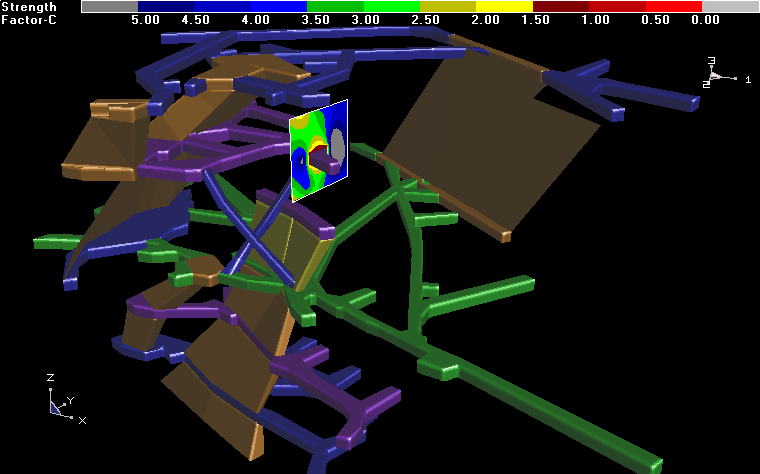
Easy construction of simple or complex 3D shapes (Examples)
Very large problem sizes easily solved on a desktop computer (1,200,000 degrees of freedom)
Automated facility to generate Excel plots from contoured data
Probability of failure plots
Automated block intersection capability relieves the user of manual construction effort
Allows for backfill placement
Multi-step mining sequences
High accuracy elements (requires half as many elements to achieve the same degree of accuracy as most programs)
-
Do to advanced lumping procedures, run times are very quick compared to other programs
-
Up to 100 different material zones
-
Visco-plastic fault slip simulations
-
Tabular mining with yielding pillars
-
Automated discretization ensures easily controlled and consistent degree of accuracy
-
Powerful integrated results viewer
-
Easy manipulation of results for interpretation of rock mass failure, slip on fault planes, results on oriented bore holes and ubiquitous slip on bedding planes or joint sets.
Integrated interactive visualization database allows for display and contouring of seismic data
Contour plotting of user defined functions
Continuous development and enhancements for over 18 years
Incorporation of both Fictitious Force and Displacement Discontinuity elements (as well as special elements for thermal/fluid flow, and 3D plasticity).
Higher order elements for bending problems
Planar grids, line grids and point grids for viewing results
Isotropic and anisotropic failure criteria
RCF (rock condition factor) plots
Integrated accelerated, pre-conditioned and conjugate-gradient solvers work together for fast, reliable accurate solutions
Import/export facility for input data to other CAD programs
Import/export facility for analysis results to other programs
No expensive buy in fees - Map3D is licensed on an annual basis
